 One app for all your study abroad needs


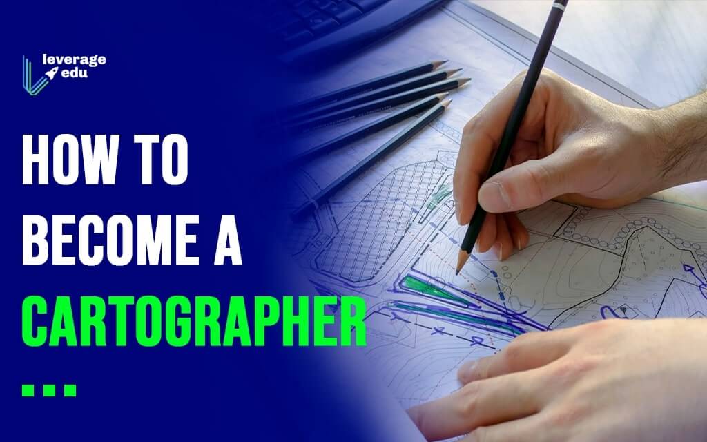
Cartography is the study and practice of making and using maps. Combining science, aesthetics and technique, cartography builds on the premise that reality can be modelled in ways that communicate spatial information effectively. A Cartographer is responsible for collecting, analyzing and interpreting both spatial (latitude, longitude, elevation, distance) and non-spatial data (population density, land-use patterns, annual precipitation levels, demographic characteristics). In the modern world, maps are made either in graphic or digital form. The art of cartography has been around for ages and is gaining importance in today’s GPS mapped world, in fact, the demand for cartographers is expected to grow 29% by 2024!

Also Read: How to Become a Space Scientist?
This Blog Includes:
What does a Cartographer do?
A cartographer is a person who designs maps. Cartography is one of the oldest professions in the world and evolved tremendously with technology. Cartographers are highly skilled professionals who research, collect, store, retrieve, evaluate and manipulate data to design maps, check the accuracy of maps and access and use aerial photographs and satellite images. Cartographers make maps for political, geographical, administrative and defence purposes. They use coding and programming tools like Python, SQL, JavaScript, C++ and Java to design web maps.
Also Read: Why Everyone Should Learn Coding to Upscale in Life!
Basic Skills Required
Some basic skills are required in order to dwell in the world of map-making. These are:
- Interest in geography and politics
- Excellent computer, mathematical and designing skills
- Spatial awareness
- A high level of accuracy
- Attention to detail
- Analytical ability and problem-solving skills
- Organisational skills
- Drawing and graphic design
- Communication skills
Must Read: Java Courses for Beginners!
Best Courses for Cartographers
In order to become a cartographer, you can get a degree in one of the following:
- BSc Geography
- BA Geography
- BTech in Geoinformatics
- MSc Geography
- MSc Spatial Information Technology
- MSc Cartography
- MSc Geographic Information System
- MSc Remote Sensing
- MSc Geoinformatics
- MTech Geoinformatics
- MTech Remote Sensing and Geographical Information System (GIS)
- PG Diploma in Digital Cartography
- MSc Environmental Science
- PhD in Geography
In an interview with the Hindu, Professor Jagannathan, HOD of Geography at Madras University, stated that “Hands-on experience is necessary and most successful modern-day cartographers are at least partially self-taught”. Practical life experiences are as important as theoretical knowledge and the ability to draw.
Students may be required to learn programming languages like Python, SQL, JavaScript, C++ and Java to draw web maps and spatial analysis for modelling, data integration & conversion, geocoding and geomatics are useful skills.
Top Universities in the World for Cartography
- University of Glasgow, UK
- George Mason University, USA
- Newcastle University, UK
- Fleming College, Canada
- Technical University of Munich, Germany
- Ohio University, USA
- University of British Columbia, Canada
- National University of Singapore, Singapore
- University of Cambridge, UK
Internships for Cartographers
One of the most prominent steps in becoming a cartographer is gaining practical experience. Students can gain work experience through internships and use different techniques like Geographical Information Systems, remote sensing and more to become efficient in the field. Here are some companies that offer internships for GIS interns:
- National Geographic Society
- Apple
- Infosys
- The Institute for Transportation and Development Policy
- Burns and McDonnell
- Hitachi Energy
- French Institute of Pondicherry (IFP)
Must Read: How to Become a Geologist?
Career Scope for Cartographers
- With an undergraduate degree, you can work as a Junior Cartographer, Mapping Assistant or a GIS/Cartographic Assistant.
- Once you have completed your master’s, you can work with the government, NGOs and international institutions. You can even choose to teach at school level.
- With a PhD, you are eligible to apply for top-level jobs like Geomatics Consultant,
Research fellow, Post-doctoral fellow, GIS analyst/coordinator, mapping Scientist, Technical Support Analyst and a host of similar opportunities. You can even work as instructors, professors and researchers at Schools, Colleges and Universities.
Average Salary of a Cartographer
As a cartographer, you will make maps for the military, industries, special territories like tribal lands, as well as everyday maps that detail roads and footpaths for tourists and travellers. The salary depends upon the qualifications of an individual, and who they are working for. In India, the beginning salary could be between ₹10-15k which will increase alongside one’s experience, while the average salary is ₹3 lakh per year. Overseas organisations are known to pay between ₹5 lakh- ₹10 lakh per year.
Must Read: Scope of Geography in India
Interested in becoming a Cartographer? Connect with our experts at Leverage Edu and kickstart your study abroad journey. Call us at 1800 57 2000 to book your FREE counselling session today.

 45,000+ students realised their study abroad dream with us. Take the first step today.

