 One app for all your study abroad needs


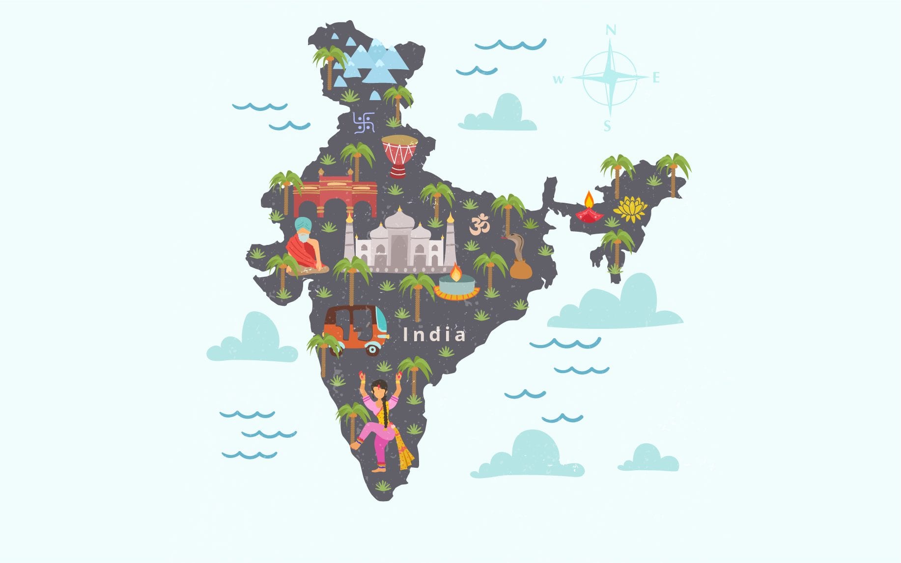
Social Science is the study of society, social relationships, and how various factors like geography, economics, philosophy, etc contribute to the overall development. Understanding various facets of social development in a country like India, which has its own fair share of creating the world’s history is important. These details have been comprehensively covered at the school level curriculum, in particular, the class 9 Geography syllabus. So, in this blog, we will some important notes with you related to India Size and Location.

India Size and Location Class 9 PDF
India-The Emerging Nation
India, also known as the land of diversity, is the most ancient civilizations in the world. India is a vast country with ever-increasing socio-economic growth in the last decades. The country with the world’s second-largest population has shown promising development in the fields of agriculture, technology, industry, economy, etc. Furthermore, the country has a vast number of resources, which has also been elucidated in the Geography class 10 syllabus. Before we delve deep into India Size and Location, let us first take a look at some of the important points:
- India has 36 states/UT’s in total- 28 states and 8 Union Territories.
- Delhi is the capital of the Republic of India and Mumbai is the largest city.
- Rajasthan is the largest state, whereas Goa is the smallest in terms of the area.
- Uttar Pradesh is the most populous state in the country and is important to remember in order to understand India Size and Location.
- Furthermore, with no national language, Hindi and English are recognized as official languages along with 447 enlisted indigenous languages.
Understanding India Size and Location
The chapter ‘India Size and Location’ in class 9 Geography syllabus provides detailed information about the geography of the country in terms of area and its location on the globe.
Size
| Total Area (Ranked 7th) | 3,287,263km2 |
| Land boundary | 15,200 km |
| Coastal boundary | 7,516.6 km |
Location
| Continent | Asia |
| Region | South Asia Indian subcontinent |
| Position | The northern part of the Indo-Australian plate; the Indian Plate |
| Hemisphere | Northern Hemisphere |
| Coordinates | 21°N 78°E |
| IST | Mirzapur – 82°30’ E |
Location of India Explained
India, which is often called Bharat or Hindustan, is one of the most influential countries in the Asian continent. It lies entirely in the northern hemisphere, centrally located amidst eastern and western Asia. India lies on the Indian plate which is a part of the northern Indo Australian plate. As far as ‘India Size and Location’ is concerned, the country is located to the north of the equator between 8°4′ north to 37°6′ north latitude and 68°7′ east to 97°25′ east longitude. One of the three imaginary lines passes through the nation, which is the Tropic of Cancer which divides the country into two halves at coordinates 23°30’N. The Indian peninsula is connected with the entire world through oceanic routes, defining its prominence and relations with other continents.
Quick Fact: The Tropic of Cancer passes through 8 Indian states namely, Rajasthan, Gujrat, Madhya Pradesh, Tripura, West Bengal, Chhattisgarh, Jharkhand, and Mizoram. This is an important information to remember when it comes to India-Size and Location.
India Size
As far as the India Size and Location is concerned, it is the seventh-largest country in the world. Its total geographical area is 3,287,263 square kilometres. It extends over a distance of 3,124 kilometres from north to south [Jammu & Kashmir to Kanyakumari] and 2,993 kilometres from east to west [Arunachal Pradesh to Gujarat]. Water bodies majorly surround the country on three sides with a 7,516.6 kilometres long coastline and 15,200 kilometres land boundary.
Physical Features of India
While understanding India Size and Location is important, having a conceptual clarity of its physical features is essential. The northern frontiers of the country are protected by the high Himalayas, which separates the Indian subcontinent plain from the Tibetan plateau. Indian peninsula on the south is faced by the world’s third-largest ocean- the Indian Ocean and partly by the Bay of Bengal in the east and the Arabian Sea in the west. A time lag of two hours can be experienced from Arunachal Pradesh to Gujarat. As a result, the standard meridian 82°30’E, which passes through Mirzapur, Uttar Pradesh is regarded as the standard time and is followed by the entire nation.
India Size and Location Along with Neighbours
India is recognized as the most influential country in South Asia. It shares a spirit of harmony with its neighbouring countries and so, understanding the border divisions along with India Size and Location is equally important.
- India shares the Himalayan range with Nepal, Bhutan, and China in the north.
- With Pakistan in the west, it shares the Arabian Sea, 15% of Thar desert, and a minor part of the Rann of Kutch.
- The Sunderbans delta spanning over the Bay of Bengal and river Hooghly segregates the boundaries between India and Bangladesh in the east.
- Furthermore, in the North East, India shares its land border with Myanmar.
- The southernmost neighbours of the nation are two island countries- the Maldives and Sri Lanka.
- Sri Lanka is separated by the Gulf of Mannar.
India Size and Location PDF
Here is a PDF covering the entire notes on this chapter-
India-Size and Location Important Questions (NCERT)
- The sun rises two hours earlier in Arunachal Pradesh as compared to Gujarat in the west but the watches show the same time. How does this happen?
- The central location of India at the head of the Indian Ocean is considered of great significance. Why?
- Why 82°30’E has been selected as the Standard Meridian of India?
- Why is the difference between the durations of day and night hardly felt at Kanniyakumari but not so in Kashmir?
- The number of Union Territories along the western and eastern coasts.
- Area-wise which is the smallest and which is the largest state?
- The states which do not have an international border or lie on the coast
- Classify the states into four groups each having common frontiers with (i) Pakistan, (ii) China, (iii) Myanmar, and (iv) Bangladesh
- Name the group of islands lying in the Arabian Sea.
- Name the countries which are larger than India.
- Which island group of India lies to its south-east?
- Which island countries are our southern neighbours?
India-Size and Location Extra Questions
- Name the group of islands lying in the Arabian Sea.
- The sun rises two hours earlier in Arunachal Pradesh as compared to Gujarat in the west but the watches show the same time. How does this happen?
- Why 82°30’E has been selected as the Standard Meridian of India?
- Why is the difference between the duration of day and night hardly felt at Kanyakumari but not so in Kashmir?
- What is the longitude and latitude of India?
- Name the Indian States that have common frontiers with its neighbouring country Bhutan.
- India lies to the north-east hemisphere. How do you justify this statement?
- Classify the states into four groups each having common frontiers with
(i) Pakistan
(ii) China
(iii) Myanmar
(iv) Bangladesh - The central location of India at the head of the Indian Ocean is considered of great significance. Why?
- Collect information about the ‘Silk Route’. Also find out the new developments, which are improving communication routes in the regions of high altitude.
- Which are the water bodies that separate SriLanka from India?
- How do we calculate the time-difference between Gujarat and Arunachal Pradesh?
- Area-wise which is the smallest and which is the largest state of India?
- What are the commodities exported from India?
- Which are the countries constituting the Indian Sub-Continent?
- Give the significance of India’s central location.
- Write a brief note about India and Its neighbours.
- Give a brief description of the Suez Canal.
- Explain how India’s land routes have been important since ancient times.
India Size and Location Class 9 MCQ
- The Tropic of Cancer does not pass through
(a) Rajasthan
(b) Orissa (Now Odisha)
(c) Chhattisgarh
(d) Tripura
2. Uttarakhand, Uttar Pradesh, Bihar, West Bengal and Sikkim have common frontiers with
(a) China
(b) Bhutan
(c) Nepal
(d) Myanmar
3. Which line divides India into approximately two equal parts?
(a) Equator
(b) Tropic of Cancer
(c) Tropic of Capricorn
(d) None of these
4. What is the position of India in the world in respect of area?
(a) 8th position
(b) 7th position
(c) 6th position
(d) 2nd position
5. Tropic of Cancer passes through which of these states
(a) Orissa
(b) Tripura
(c) Bihar
(d) Punjab
India Size and Location PPT
Class 9 social science notes on the chapter India size and location provide interesting pointers such as facts regarding Indian geography before independence, the importance of the Suez Canal, etc. along with ‘find out’ questions for a better understanding of the content. Sign up with Leverage Edu where our experts will help you choose the right stream that will lead you to a fulfilling career!

 45,000+ students realised their study abroad dream with us. Take the first step today.

