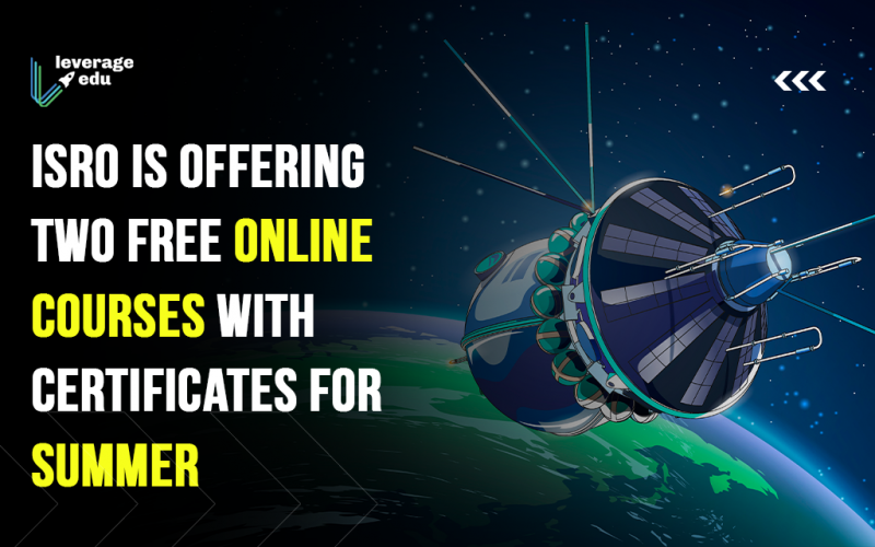
The Indian Space Research Organization (ISRO) recently announced that it will give two free online courses along with certifications in the months of July and August 2021. The courses will be based on Geospatial Modelling and Geospatial Technology and delivered through the Indian Institute of Remote Sensing (IIRS) centre. Both students and professionals can apply and receive certifications upon completion. Read on to know more about these two free online courses by ISRO and their eligibility criteria in this blog.
This Blog Includes:
Check out: How To Become A Scientist In ISRO?
Free Online Courses by ISRO
The two courses that are being offered by ISRO are:
- Geospatial Modelling for Watershed Management
- Geospatial Technology for Hydrological Modelling
The two online courses are created for both students and professionals who want to learn about soil and water conservation. Let’s know more about these courses individually:
Geospatial Technology for Hydrological Modelling
Hydrological modelling is a powerful and necessary tool for assessing, forecasting, and managing water resources, hydrological parameters, and water movement, demand, and use scenarios.
What’s in Store for Students?
- A study of the uses of geospatial technology in the field of water resources
- Hydrological model types and geographical and non-spatial data inputs for hydrological modelling
- Use of a digital elevation model and its derivatives
- Modelling of Rainfall-Runoff
- Modelling of snowmelt and glacier runoff
- Modelling of soil erosion and sediment yield
- Flood peaks estimation
- 1D hydrodynamic river flow modelling
- Impact of climate change on the hydrological regime
Eligibility
Students having a master’s degree in Science (MSc) or a master’s degree in Technology (MTech) along with a basic understanding of fundamental remote sensing, GIS, and hydrology principles are eligible for this course by ISRO.
Corse Timeline: 19th July 2021 to 30th July 2021
Geospatial Modelling for Watershed Management
In recent years, geospatial technologies such as remote sensing, GIS, and GPS have developed as important tools for watershed management evaluation and monitoring.
What’s in Store for Students?
- An overview of the applications of RS and GIS in watershed management.
- Watershed development initiatives are monitored using RS and GIS.
- Watershed characterization using digital terrain analysis.
- Geospatial modelling for assessing soil erosion in a watershed.
- Land use planning, as well as conservation measures for soil and water.
Eligibility
Students having a bachelor’s degree in science, agriculture science, agricultural engineering, or civil engineering and who have a basic understanding of the fundamental concepts of remote sensing and geographic information systems (GIS) are eligible for the above-mentioned course by ISRO.
Course Timeline: 2nd August 2021 – 6th August 2021
How to Register for ISRO Courses?
- ISRO will provide updates and other information for the above-mentioned courses at the following URL: http://www.iirs.gov.in/Edusat-News/.
- All participants must register online using the registration page linked above.
- There are a limited number of seats available, and registration is on a first-come, first-served basis.
How to Attend Classes and Get Certificate?
- Course study resources such as lecture slides, video-recorded lectures, open-source software, and demonstration handouts, among other things, will be made available via e-class (https://www.eclass.iirs.gov.in/login).
- Individuals can attend the course live using any web browser by accessing the IIRS Dehradun e-class portal at https://eclass.iirs.gov.in.
- Participants can also watch the live workshop on IIRS’s YouTube channel.
- After 24 hours, the workshop content will be available offline via the e-class portal.
- In order to attain the certificate for the above-mentioned courses by ISRO, participants must attend 70% of the course’s live sessions through the e-class site.
- Participants who join the course sessions through the IIRS YouTube channel should register for the offline session, which will be accessible within 24 hours.
So this was all on free online courses by ISRO that will be made available in the month of July and August 2021. If you are a Geospatial Modeling or Geospatial Technology enthusiast, then these courses are a perfect medium to harness your knowledge. Do you want to study abroad but don’t know which universities or courses are right for you? Allow our AI Course Finder to assist you. Feed-in your choices and let the AI compare them against millions of accessible data points from across the world. Click here to use it and stay tuned to Leverage Edu for more amazing reads and education news related to study abroad and more.

 One app for all your study abroad needs


 45,000+ students realised their study abroad dream with us. Take the first step today.

