

 One app for all your study abroad needs


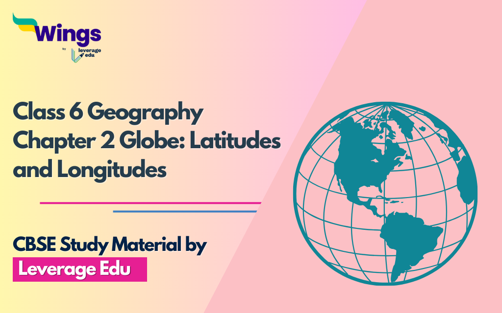
Summary: NCERT Class 6 Geography Chapter 2
NCERT Class 6 Geography Chapter 2, titled “Globe: Latitudes and Longitudes,” introduces students to the Earth’s imaginary lines that help locate places accurately. It explains latitudes, which run east-west, and longitudes, which run north-south. These lines form a grid system on the globe. Latitudes are like steps on a ladder, with the Equator as the central line. They help us measure distances north or south of the Equator. Longitudes are like the slices of an orange, meeting at the North and South Poles. The Prime Meridian is the main line of longitude. By combining latitudes and longitudes, we can find any place on Earth.
This chapter prepares students for map reading and understanding global locations. Remember, latitudes are horizontal and help us find places north or south, while longitudes are vertical and help us locate places east or west.
Download Social Science Class 6 Geography Chapter 2 Important Questions and Answers PDF
Contents
Explore all the Chapters of Class 6 Geography:-
Also Read: Which Region Receives the Most Rainfall in India?
Class 6 Geography Chapter 2 Notes
Let us now look at the class 6 chapter 2 notes and cover the important aspects along with diagram and definitions.
Important Diagram in NCERT Class 6 Geography Chapter 2
Draw a diagram of the globe showing the earth’s axis, the Equator, the Tropics of Cancer and Capricorn, the Arctic Circle and the Antarctic Circle.

Earth’s Axis
The Earth’s axis is an imaginary line that runs from the North Pole to the South Pole. It’s like an invisible rod around which the Earth spins. This spinning motion is what causes day and night.
Equator
The Equator is an important line that circles the Earth horizontally. It’s located halfway between the North Pole and the South Pole. The Equator divides the Earth into two halves – the Northern Hemisphere and the Southern Hemisphere.
Tropics of Cancer and Capricorn
The Tropics of Cancer and Capricorn are lines that go around the Earth parallel to the Equator. The Tropic of Cancer is in the Northern Hemisphere, and the Tropic of Capricorn is in the Southern Hemisphere. These lines mark the farthest points north and south where the sun can be directly overhead.
Also Read: The Tropic of Cancer Passes Through How Many States in India?
Arctic Circle
The Arctic Circle is another imaginary line, but this one goes around the Earth near the North Pole. It’s like a boundary that marks the area where, during summer, the sun doesn’t set for some days, and during winter, it doesn’t rise for some days.
Antarctic Circle
Similar to the Arctic Circle, the Antarctic Circle is a line that goes around the Earth near the South Pole. This line marks the region where, during summer, the sun doesn’t set for some days, and during winter, it doesn’t rise for some days, just like in the Arctic Circle.
Check out The Most Abundant Metal in the Earth’s Crust
Important Definitions in NCERT Class 6 Geography Chapter 2
- Globe: A globe is a round model of the Earth. It shows us how the Earth looks from space. It helps us understand where different places are located on the planet.
- Axis: The axis of the Earth is like an imaginary line that runs from the North Pole to the South Pole. The Earth spins around this line, which gives us day and night.
- Equator: The equator is an imaginary line that goes around the middle of the Earth. It divides the Earth into two halves: the Northern Hemisphere and the Southern Hemisphere. It’s also the widest circle around the Earth.
- Parallels of Latitudes: These are imaginary lines that run from east to west on the Earth. They are like steps going up and down the globe. They help us measure how far a place is from the equator.
- Torrid Zone: The torrid zone is the hottest part of the Earth. It is located near the equator. It gets a lot of sunlight and is generally warm throughout the year.
- Temperate Zone: The temperate zone is in the middle of the Earth, between the torrid and frigid zones. It has milder temperatures compared to the torrid and frigid zones.
- Frigid Zone: The frigid zone is the coldest part of the Earth. It is located near the poles (North Pole and South Pole). It gets very little sunlight, so it’s very cold.
- Prime Meridian: The prime meridian is an imaginary line that runs from the North Pole to the South Pole. It is at 0 degrees longitude. It helps us measure how far a place is to the east or west of it.
Download Social Science Class 6 Geography Chapter 2 Important Questions and Answers PDF
Explore all the Chapters of Class 6 Geography:-
Important Questions and Answers in NCERT Class 6 Geography Chapter 2
1. Answer the following questions briefly.
(a) What is the true shape of the earth?
(b) What is a globe?
(c) What is the latitudinal value of the Tropic of Cancer?
(d) What are the three heat zones of the Earth?
(e) What are parallels of latitude and meridians of longitude?
(f) Why does the torrid zone receive maximum amount of heat?
(g) Why is it 5.30 p.m. in India and 12.00 noon in London?
Ans.
(a) The true shape of the Earth is like a slightly flattened ball. It is slightly flattened at the North and the South Poles and bulges in the middle.
(b) A globe is a round model of the Earth, showing its continents, oceans, and other features. It helps us understand how our planet looks from space.
(c) The latitudinal value of the Tropic of Cancer is 23½° N.
(d) The three heat zones of the Earth are as follows:
- Torrid Zone (near the Equator)
- Temperate Zone (between the Torrid and Arctic/Antarctic Circles)
- Frigid Zone (near the North and South Poles)
(e) Parallels of latitude are imaginary lines that run horizontally around the Earth, measuring distances North or South of the Equator. Meridians of longitude are imaginary lines that run vertically, measuring distances East or West of the Prime Meridian.
(f) The torrid zone receives the maximum amount of heat because it is closest to the Sun. The Sun’s rays are more direct and concentrated in this area, causing higher temperatures.
(g) India and London have different time zones due to their locations on the Earth. When it’s 5:30 p.m. in India, it’s 12:00 noon in London because India is ahead in time. This happens because the Earth rotates, causing different parts of the world to experience daylight at different times.
2. Tick the correct answers.
(a) The value of the prime meridian is
(i) 90° (ii) 0° (iii) 60°
(b) The frigid zone lies near
(i) The Poles (ii) the Equator (iii) the Tropic of Cancer
(c) The total number of longitudes are
(i) 360 (ii) 180 (iii) 90
(d) The Antarctic Circle is located in
(i) the Northern Hemisphere (ii) the Southern Hemisphere (iii) the Eastern Hemisphere
(e) Grid is a network of
(i) parallels of latitudes and meridians of longitude
(ii) the Tropic of Cancer and the Tropic of Capricorn
(iii) the North Pole and the South Pole
Ans.
(ii) 0°
(i) the Poles
(i) 360
(ii) the Southern Hemisphere
(i) parallels of latitudes and meridians of longitude
3. Fill in the blanks.
(a) The Tropic of Capricorn is located at 23½° S.
(b) The Standard Meridian of India is 82½° E Longitude.
(c) The 0° Meridian is also known as Prime Meridian.
(d) The distance between the longitudes decreases towards the poles.
(e) The Arctic Circle is located in the Northern Hemisphere.
Also Read: NCERT Class 6 Geography: Chapter 1- The Earth in the Solar System
Explore Notes of All subjects of CBSE Class 6:-
| CBSE NCERT Notes Class 6 English | CBSE NCERT Notes Class 6 History | CBSE NCERT Notes Class 6 Geography |
| CBSE NCERTNotes Class 6 Civics | CBSE NCERT Notes Class 6 Mathematics | CBSE Notes of Class 6 Science |
FAQs
Ans: The true shape of the Earth is like a slightly flattened ball. It is slightly flattened at the North and the South Poles and bulges in the middle.
Ans: The equator is an imaginary line that goes around the middle of the Earth. It divides the Earth into two halves: the Northern Hemisphere and the Southern Hemisphere. It’s also the widest circle around the Earth.
Ans: The prime meridian is an imaginary line that runs from the North Pole to the South Pole. It is at 0 degrees longitude. It helps us measure how far a place is to the east or west of it.
Follow Leverage Edu for complete study material on CBSE Notes of Class 6 Geography
 2,00,000+ students realized their study abroad dream with us. Take the first step today.