Discussion Topics
- Importance of Maps
- Digital Maps vs Physical Maps
- Future of Maps
Follow-up Questions
1. Importance of Maps
Q.1. Can you discuss some instances where maps play a crucial role in decision-making?
Ans. Absolutely! Maps play an important role in decision-making in various fields. For instance, city planners use maps to understand the layout of a city, which includes infrastructure and natural features. This helps make decisions about where one should build new facilities, how to manage traffic, and how to preserve natural spaces. There are various companies as well that use maps to plan their delivery routes, optimize fuel consumption, and ensure timely delivery of goods. For example, Swiigy and Blinkit use maps to decide the most efficient route. In addition to this, travellers also use maps to plan their trips and decide which tourist spots they can visit.
Q.2. What role do maps play in disaster management and mitigation?
Ans. Maps play an incredibly important role in disaster management and its mitigation. Maps help in identifying areas that are at most risk during natural disasters such as floods, earthquakes or wildfires. Apart from this, during a disaster maps provide crucial information about the extent of the damage, the location that has the most affected population and the best routes to reach the needy people. After a disaster, maps can help planners understand the impact of the disaster and prioritize recovery efforts. For example, a map showing the areas most affected by a hurricane could help direct resources to where they are most needed.
2. Digital Maps vs Physical Maps
Q.1. Are there any situations where physical maps are more useful than digital maps?
Ans. Yes, there are many situations where physical maps prove to be more useful than digital ones. In remote areas where there is no internet connection or limited battery life, physical maps are the lifesavers. They do not rely on technology, so they are always accessible. Moreover, physical maps are often used to provide a broader overview of an area which can help in planning long journeys or understanding the geography of a region. Even in educational settings, physical maps can be more interactive and engaging for the students helping them to better understand spatial concepts.
Q.2. What are the main differences between digital maps and physical maps?
Ans. There are many differences between digital maps and physical maps. Digital maps are interactive; you can zoom in and out, change the view, and get real-time information. In contrast, physical maps are static. While digital maps display a vast amount of updated information in real time, such as traffic conditions, business reviews, and public transit times, physical maps might not have updated information and provide only limited details. Additionally, digital maps are easily accessible on devices like smartphones and tablets, making them highly portable. On the other hand, physical maps, while still portable, can be bulky and less convenient to carry around.
3. Future of Maps
Q.1. Can you discuss the potential role of AI in the future development of maps?
Ans. Absolutely! AI has the potential to revolutionize the way we develop and use maps. For example, AI can be used to analyse satellite imagery and automatically update maps with new roads, buildings or other features. This can make maps more dynamic than they are today. Moreover, AI can also play a significant role in improving the accuracy of maps. Machine learning algorithms can be trained to recognize patterns and anomalies in the data, which can help in identifying errors or inconsistencies in the maps. For example, consider a ride-sharing app. With the help of AI, the app can learn the most efficient routes during different times of the day, predict traffic patterns, and provide more accurate estimated arrival times. This not only improves the user experience but also contributes to reducing congestion and emissions.
Q.2. How might advancements in technology change the way we use and interact with maps in the future?
Ans. Technological advancements are continually changing our interaction with maps. In the future, we might see even more personalized and interactive map experiences. One possibility is the integration of Augmented Reality (AR) with digital maps. Imagine walking down a street with your AR glasses on, and seeing directions, points of interest, and other information overlaid on the real world in real time. This could make navigating unfamiliar places much easier and more immersive. Another exciting development could be the use of maps in autonomous vehicles. These vehicles would rely heavily on highly detailed and accurate maps to navigate the world safely and efficiently. These maps would need to be constantly updated in real-time to reflect changes in the environment, such as road works or traffic jams.
Are you preparing for IELTS? Check out this video to improve your speaking skills for the IELTS exam given below👇.
| Related Blogs | ||
| IELTS Eligibility: IELTS Exam Age Limit & Qualification | IELTS Exam Dates, Registration, Result, Preparation | IELTS Sample Tests: PDF (Download), Exam Pattern |
| IELTS Marking Scheme | IELTS Scoring System & Grading | IELTS Test Centres in India | IELTS Syllabus & Section-Wise Exam Pattern |
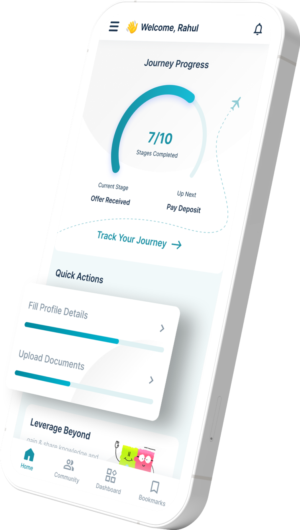
Download the Leverage IELTS App today.


Need help to prepare for IELTS? Check out the best IELTS preparation courses in the market offered in a live training environment by trusted educators in a live training environment. If you want help studying abroad, call 1800-572-130.


 One app for all your study abroad needs


 60,000+ students trusted us with their dreams. Take the first step today!