

 One app for all your study abroad needs


Answer
Verified
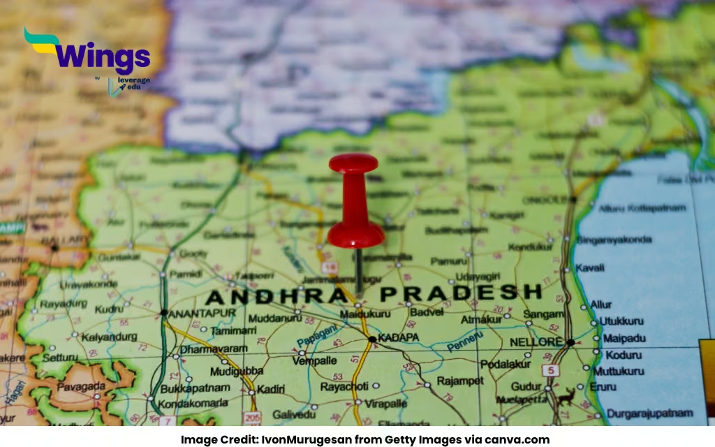
Andhra Pradesh is a state located in the southeastern part of India, along the eastern coastline facing the Bay of Bengal. It is one of the 28 states of India and is known for its rich cultural heritage, historical landmarks, and rapidly growing economy.
Geographical Location of Andhra Pradesh
| Feature | Details |
| Country | India |
| Region | South India |
| Latitude and Longitude | 15.9129° N, 79.7400° E |
| Coastline | Yes (Approx. 974 km along the Bay of Bengal) |
| Bordering States | Telangana, Tamil Nadu, Karnataka, Odisha |
| Capital(s) | Amaravati (proposed), Visakhapatnam (Executive Capital), Kurnool (Judicial Capital) |
| Major Cities | Visakhapatnam, Vijayawada, Guntur, Tirupati |
Location on India Map
On the map of India, Andhra Pradesh lies:
- To the north of Tamil Nadu
- To the south of Odisha
- To the east of Karnataka and Telangana
- To the west of the Bay of Bengal
Visakhapatnam, a key coastal city, lies in the northeastern part of the state, while Tirupati is in the southern region close to Tamil Nadu.
Also Read:
Are Langur Monkeys Friendly?
What is scientific name of dog?
What is the IGNOU Grade Card?

 60,000+ students trusted us with their dreams. Take the first step today!