

 One app for all your study abroad needs


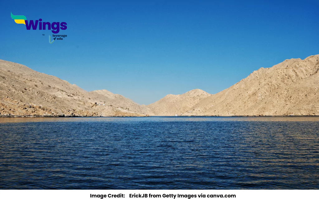
Answer: The Arabian Sea lies to the southwest of India, bordering the country’s western coastline. It is part of the Indian Ocean and touches states like Gujarat, Maharashtra, Goa, Karnataka, and Kerala, playing a vital role in trade and climate. Thus, the correct answer is option B.
Complete Answer:
The Arabian Sea is a part of the northern Indian Ocean, located to the southwest of India. It is surrounded by several countries: Pakistan, Iran, and the Gulf of Oman in the north, the Gulf of Aden in the west, and India in the east. It covers a large area of about 3.86 million square kilometres and has a maximum depth of around 4,652 metres.
The Gulf of Aden connects the Arabian Sea to the Red Sea, while the Gulf of Oman links it to the Persian Gulf. Since ancient times (as early as 2000 BCE), the Arabian Sea has been a major route for sea trade.
The Arabian Sea is an important water body. It lies to the southwest of India. This means it is in the direction that is both to the south and west of the Indian mainland. If you look at the map of India, you will see the Arabian Sea on the left side, near the states like Maharashtra, Goa, Karnataka, and Kerala. These states have long coastlines where many ports and beaches are located.
The Arabian Sea has played a major role in India’s history. In ancient times, people used this sea route for trade with countries like Arabia, Africa, and Europe. Even today, many Indian ports like Mumbai and Kochi are located on the Arabian Sea coast and help in importing and exporting goods.
The Arabian Sea’s boundaries are defined by the International Hydrographic Organisation as: –
- To the west: the Gulf of Aden’s eastern boundary. –
- To the north: a line connects the Arabian Peninsula (22°32’N) and the eastern point of Ràs Jiyùni (61°43’E) to Ràs al Hadd off the coast of Pakistan.
- To the south: A line connecting the southern end of the Addu atoll in the Maldives to the eastern end of RAS Hafun (10°26’N).
- To the east: Lacsidiv C’s western boundary, a line going from Sadashivgarh (14 ° 48 (N 74 ° 07′E) to Koraha Dih (13 ° 42′N 72 ° 10′E) on India’s west coast to Malu in Abu Laccadive at the atoll’s oldest point and down the west side of the Maldives Island.
So, the correct answer is: B. Southwest of India.
Common Social Science Doubts:

 60,000+ students trusted us with their dreams. Take the first step today!