

 One app for all your study abroad needs


Answer
Verified
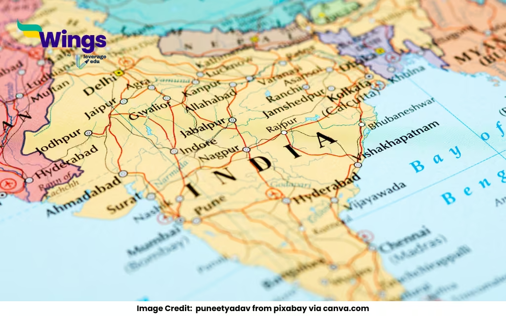
India, officially known as the Republic of India, covers an area of approximately 3,287,263 square kilometers, making it the seventh-largest country in the world by land area. Located in South Asia, India shares its borders with Pakistan, China, Nepal, Bhutan, Bangladesh, and Myanmar, and has a long coastline stretching along the Indian Ocean.
Geographical Overview of India
| Parameter | Details |
| Total Area | 3,287,263 sq. km |
| Land Area | 2,973,190 sq. km |
| Water Area | 314,073 sq. km |
| Global Rank (by area) | 7th largest |
| Length (North to South) | Approx. 3,214 km |
| Width (East to West) | Approx. 2,933 km |
| Coastline Length | About 7,516.6 km |
| Longest Border With | Bangladesh (4,096 km) |
| Highest Point | Kanchenjunga (8,586 m) |
Quick Facts:
India occupies 2.4% of the world’s total geographical area.
It stretches between latitude 8°4’N to 37°6’N and longitude 68°7’E to 97°25’E.
India has 28 states and 8 Union Territories, each with its own unique geographical features.
Also Read:
Who was Shishupal?
What did bhikkhus mean?
What breed is a pocket dog?
Who is called the Sarpanch?

 60,000+ students trusted us with their dreams. Take the first step today!