

 One app for all your study abroad needs


Answer
Verified
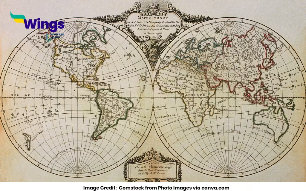
In geography, a grid is a network of horizontal and vertical lines used to locate points on the Earth’s surface. This system helps geographers, cartographers, and navigators accurately determine the location of any place on a map or globe.
The geographical grid is composed of:
- Latitudes (horizontal lines)
- Longitudes (vertical lines)
Together, these form a grid system that divides the Earth into measurable segments, aiding in navigation, mapping, and geographic studies.
Components of the Geographical Grid
| Component | Description |
| Latitude | Horizontal lines that run east-west and measure the distance north or south of the Equator. |
| Longitude | Vertical lines that run from the North Pole to the South Pole and measure the distance east or west of the Prime Meridian. |
| Equator | The central latitude line (0°), dividing the Earth into Northern and Southern Hemispheres. |
| Prime Meridian | The central longitude line (0°), dividing the Earth into Eastern and Western Hemispheres. |
| Coordinates | A pair of latitude and longitude values used to pinpoint exact locations. |
Importance of the Grid System in Geography
- Location Identification: Helps pinpoint exact locations anywhere on Earth using coordinates.
- Navigation: Assists in global navigation for air, sea, and land travel.
- Mapping: Essential for accurate map creation and interpretation.
- Climate and Time Zones: Latitudes help define climate zones; longitudes are used to calculate time zones.
- Geographical Studies: Aids researchers in analyzing spatial relationships and patterns.
Also Read:
Which Substance is Used for Artificial Rain?
How was Swaraj Different for Various Classes and Groups?
What is a Hamster?

 60,000+ students trusted us with their dreams. Take the first step today!